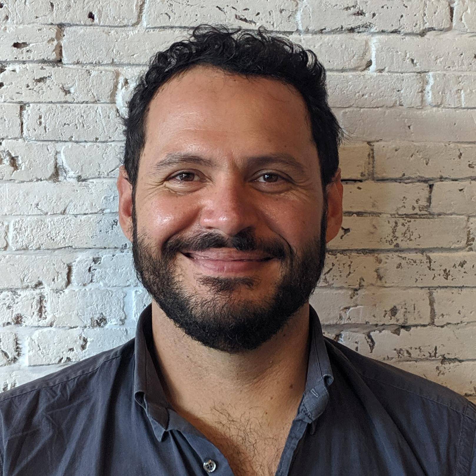
Giuseppe is a Geospatial Technology Specialist at the World Bank, where he supports sustainable development and disaster risk management projects using Geographical Information Systems (GIS) and satellite remote sensing. He has previously held consulting positions with the World Food Program (WFP), the World Resources Institute, UN FAO and the Italian Ministry of the Environment. He earned his PhD in geospatial sciences at the University of Maryland where his research focused on land cover and land use change mapping, first with a focus on near-real-time fire monitoring using satellite remote sensing, and then on mapping deforestation at the human-environment interface in the Congo Basin.
